| Home | About Us | Get Involved | Equipment | Food | Links | VKH Weather | Resources | FAQ |
| |
| Help Sponsor |
| Previous Years' Trips |
| Contact |
Labrador 2011: The quest for Hubbard's Mountain |
|||
|
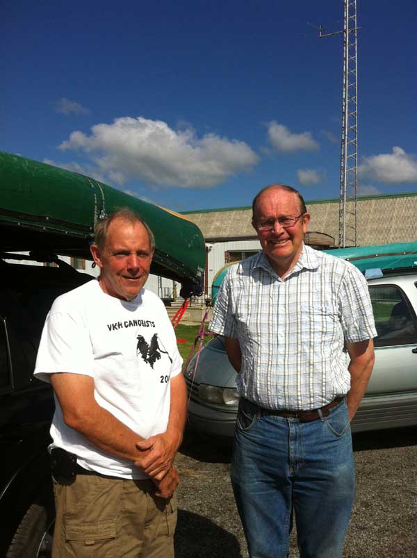
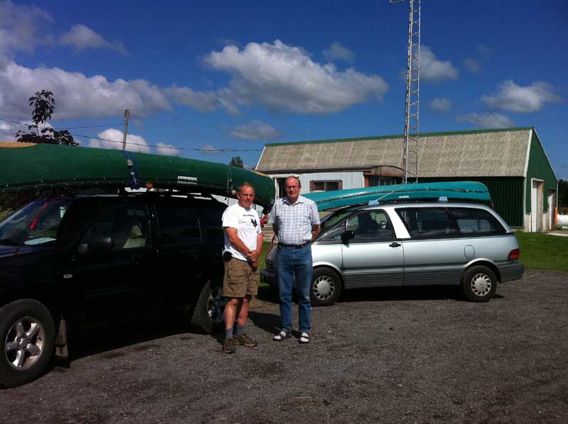
On July 9 Robert Irwin and Philip Schubert leave Vankleek Hill for Labrador. They plan to drive along the Trans Labrador Highway to the Orma road, just east of Churchill Falls. If the road is passable they will make their way slowly north to the edge of Windbound Lake where they will launch two solo canoes equipped with spray decks. They will then paddle a circuitous route to Mount Hubbard. The plan is to use an array of islands along the way to hide from the winds and thereby minimize the risk in crossing this large body of open water. The goal is to climb the mountain that became the turning point in the ill-fated Hubbard expedition of 1903. This will be the two paddlers' second attempt to accomplish this goal. If all goes as planned this year, Robert & Philip will install a granite plaque on the mountain top, to commemorate the place where Leonidas Hubbard and his remarkable guide George Elson, finally saw Michikamau, the vast "inland sea" only vaguely described in native legends. For safety Robert and Philip are equipped with satellite phones, SPOT trackers and a Personal Locator Beacon. Each day they will update their position and provide details of their trip. You can follow the trips here:
|
|||
|