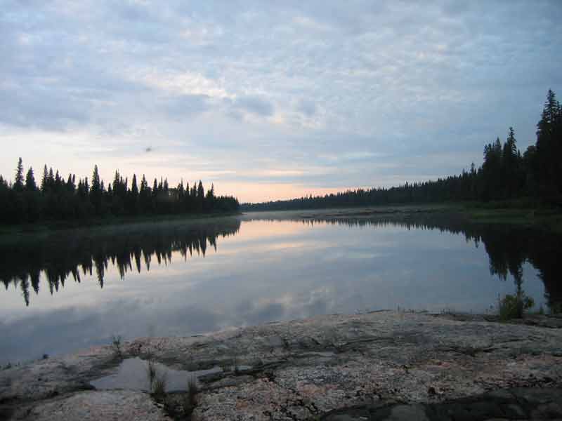
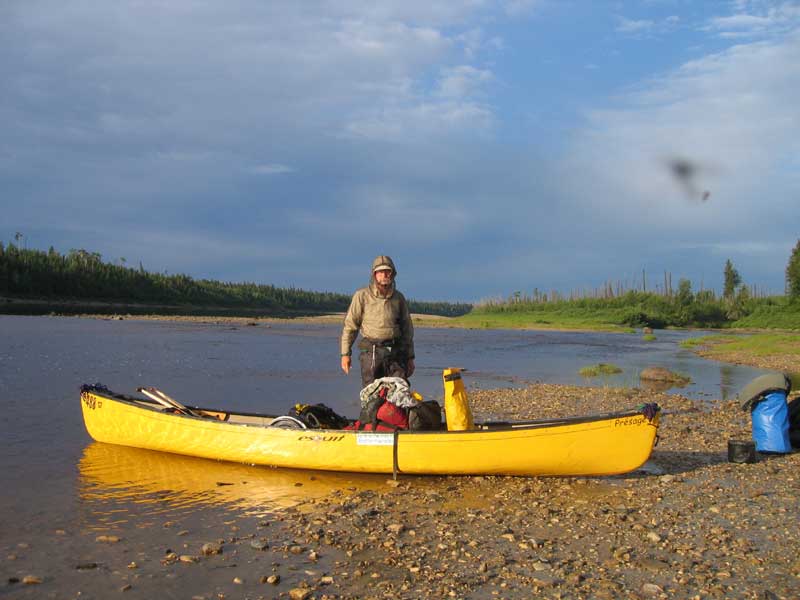
 in the park at Mattice and we put in around 5:00p.m., Monday June 2 |
|
|
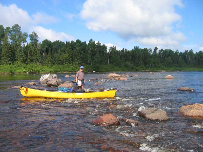
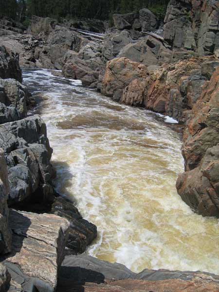
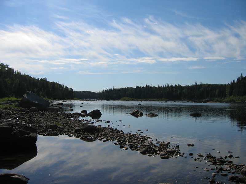
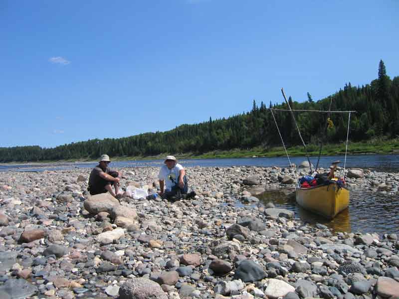
Rock Island rapids, which are rated Class II / III, showed up in less than an hour. The channel on the left side of the island had completely dried up. This left us slightly puzzled for a few moments about where we were. It was also our first clue that water levels were seriously low. We decided that the Class III stacks (now Class I tec / II) offered the best chance at minimizing rock damage to the canoe. |
|
|
|
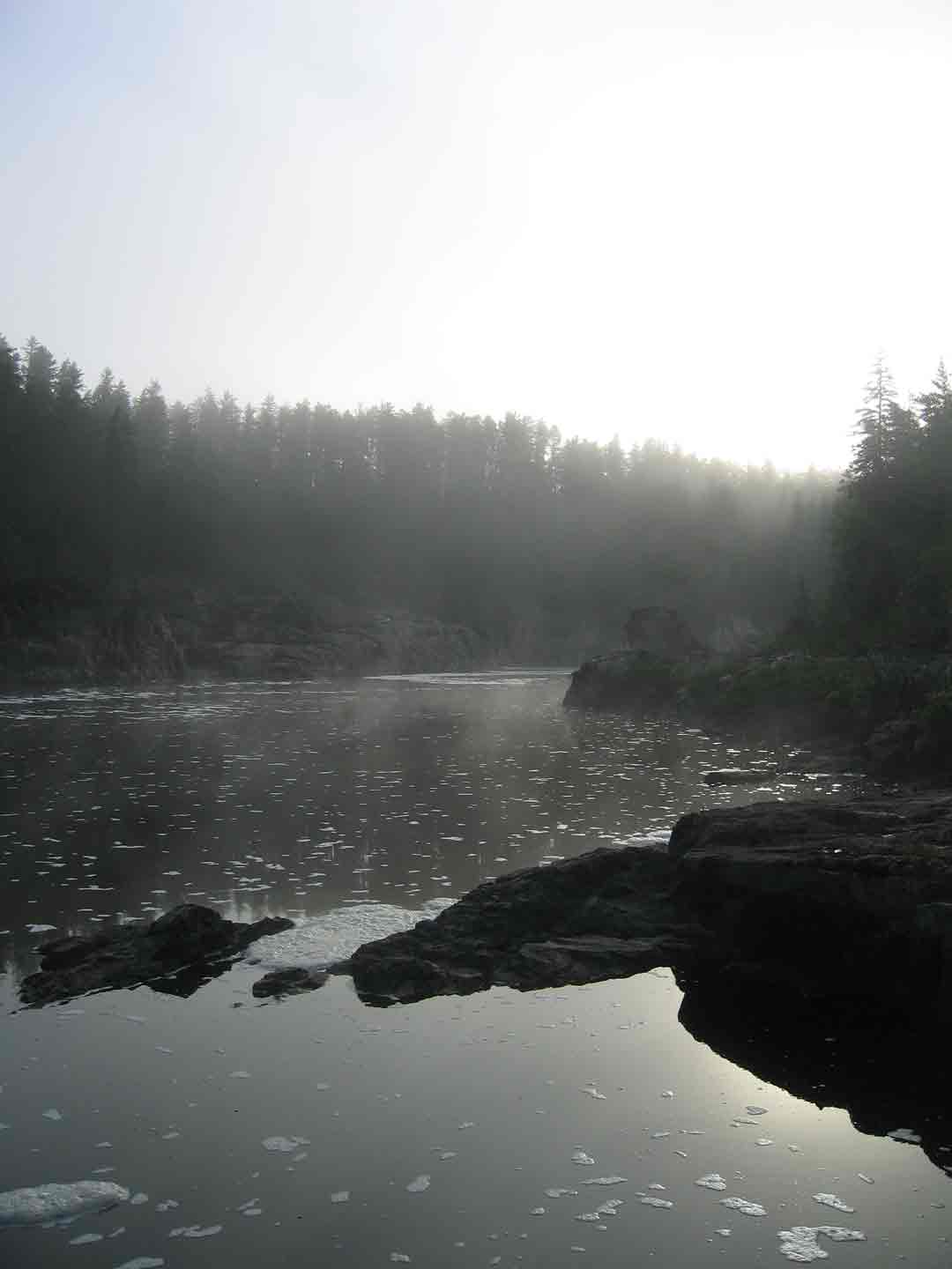
 Tuesday morning, downstream from Black Feather rapids |
Black Feather rapids presented another rock avoidance exercise. It was here that we first began to notice fresh paint on the rocks from two canoes; one red, one green. Allthough we did not see any other canoesits during our trip, I later learned on the Canadian Canoe Routes website that these paddlers had been travelling a few days ahead of us. |
 |
 Wednesday morning 6:25a.m. at Bare Rock Point |
 |
|
  |
|
 |
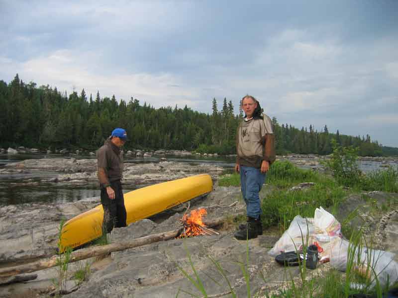
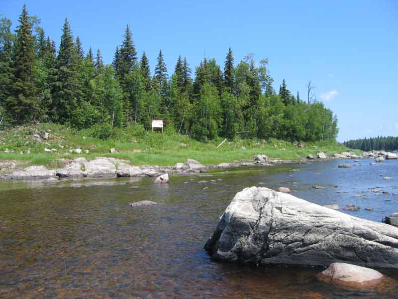
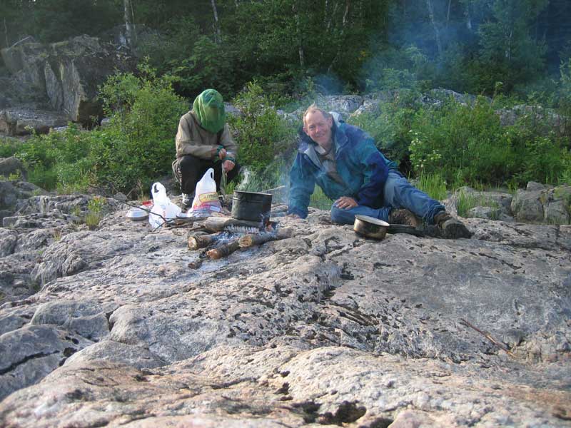
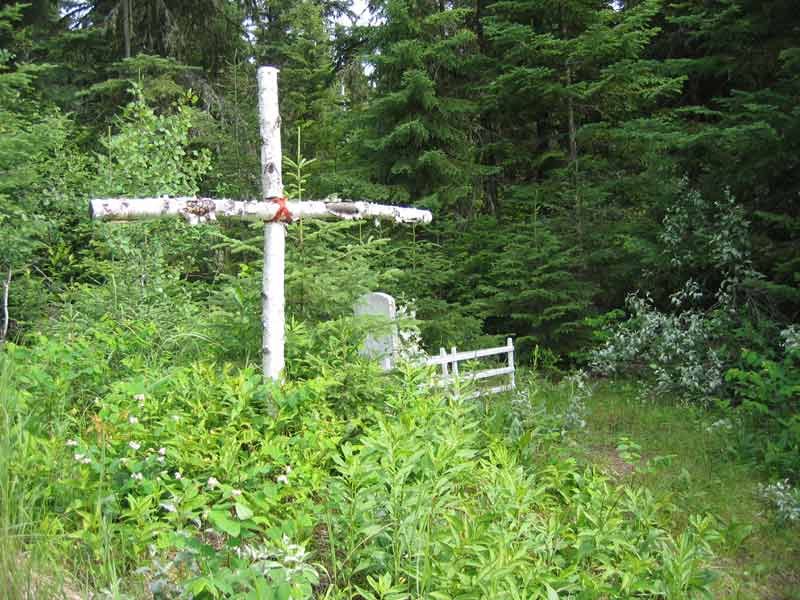
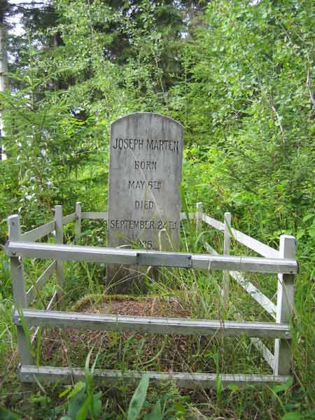
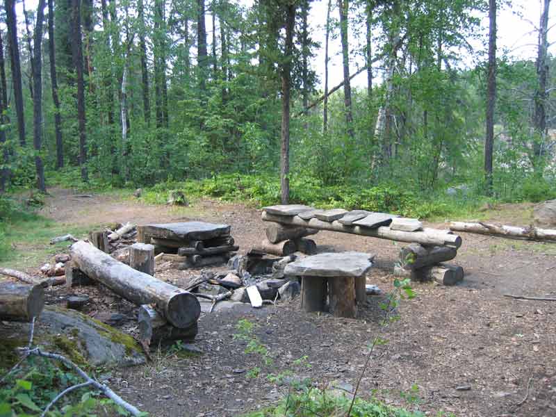 Lots of camp craft at the site overlooking the falls |
|
|
|
|
 |
|
|
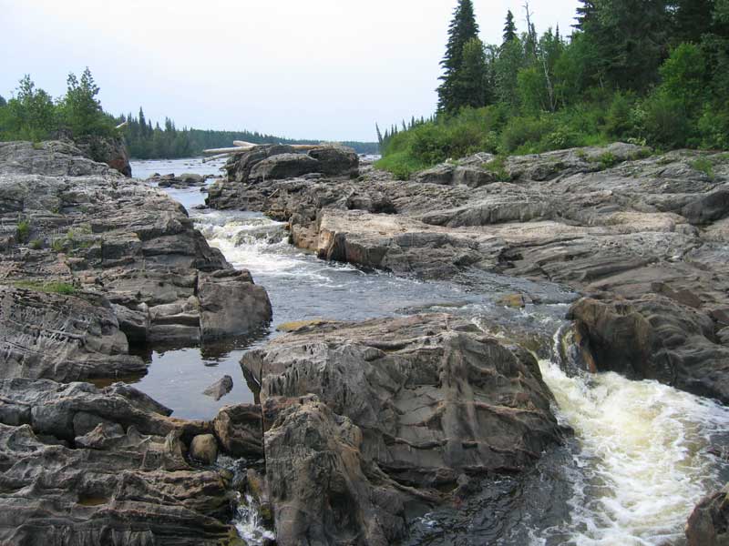
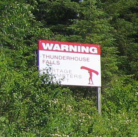
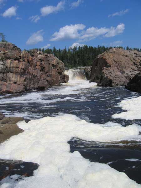
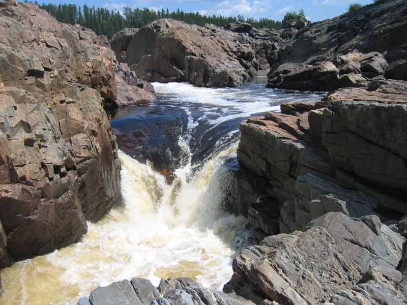
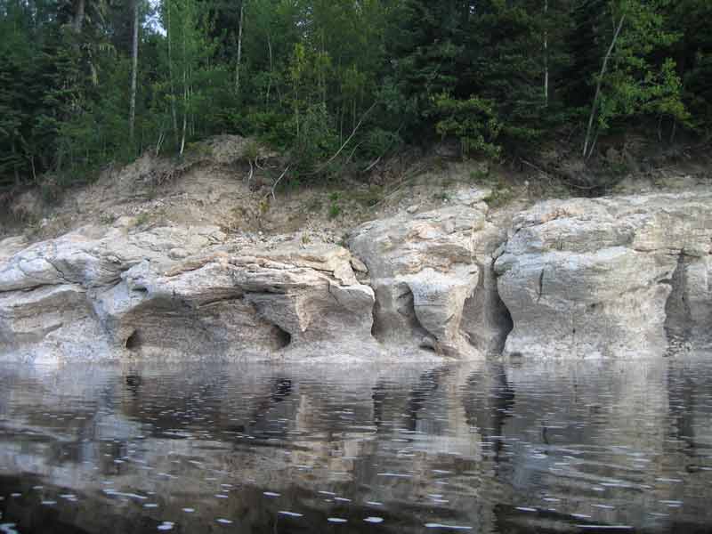
It was rare to have more than 24 hours without storm. In a light rain we completed the "Long Portage," past Hell's Gate, around 2:45p.m.. THF and Hell's Gate mark the transition from the Canadian Shield to the James Bay Lowland. From here on massive rock outcropping and majestic rock faces would be replaced in large part by sand and gravel. |
|
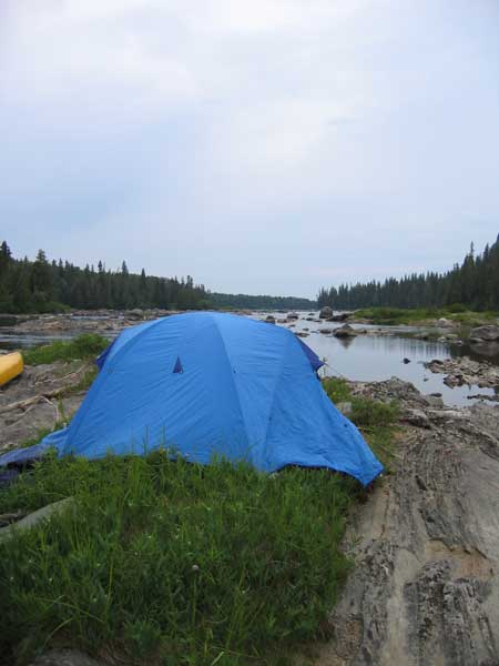
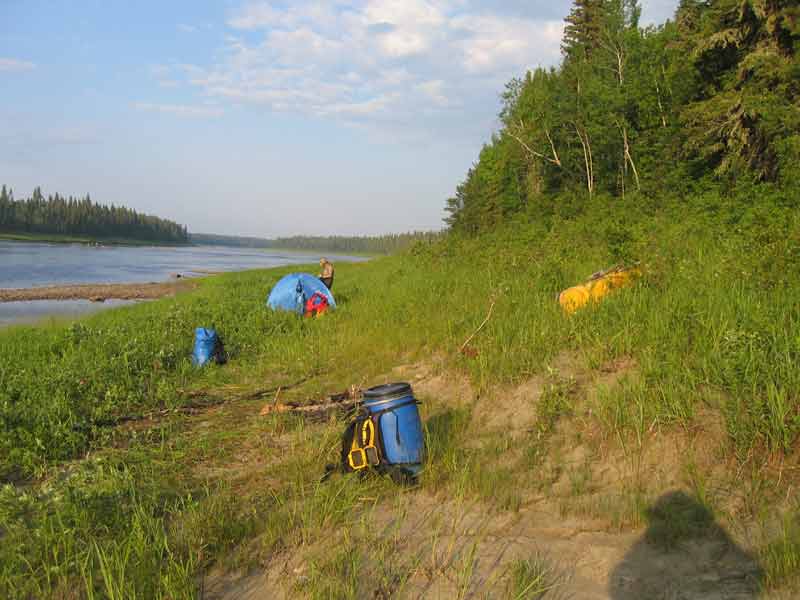
 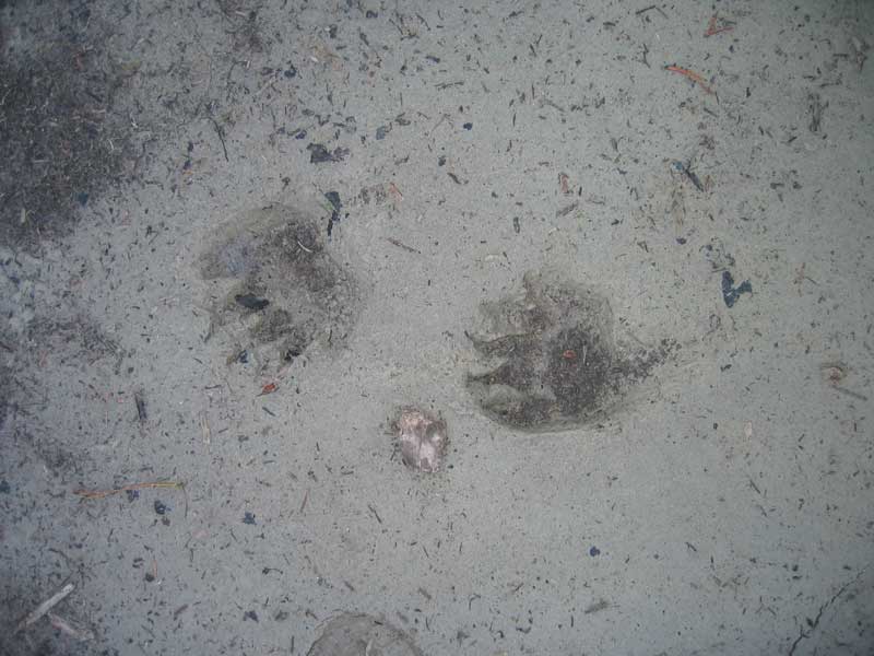 Around KM 239 our tent fit snugly into this site beside a tiny stream. Once again we had managed to find protection from winds for our tent while having an open area to cook in with relatively few bugs. We noticed that we weren't the only ones that liked this site. |
|
 |
|
  |
|
  |
|
|
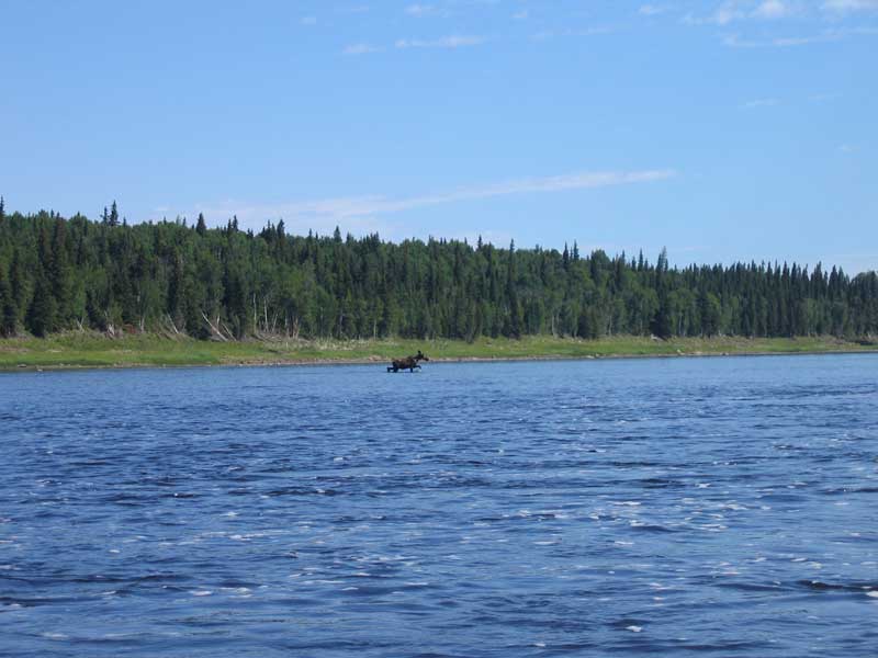
In 1999 we saw dozens of moose between Brunswick and Mattice on the middle section of the Missinaibi. On this trip we saw a number of eagles on a daily basis and a few other birds of interest but this sighting was our only moose and one of very few mammals seen. |
|
 |
At noon a pleasant lunch break on a gravel bar. We were surprised to make it through Deception rapids without touching a rock and the stacks there were still high enough to be fun. Later in the afternoon a thunderstorm forced us to camp around km 110 |
 |
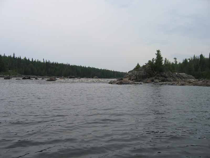
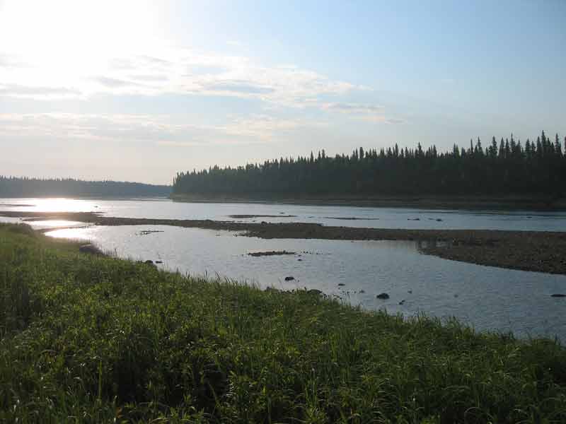 Looking down river from the campsite |
 |
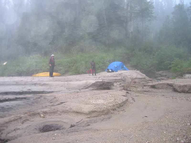
Shortly after noon on July 3, just past the confluence of the Missinaibi and Mattagami rivers, where the Moose river begins, a thunderstorm began chasing us. There were no nearby places to set up camp, so with one of the few tail winds on the trip helping out, we raced for what looked like a sandy beach on Nicoll island, about five km down river. |
| Once again, we lucked out. The storm quickly passed. Cliff swallows put a lot of pressure on the large flies in the area. | 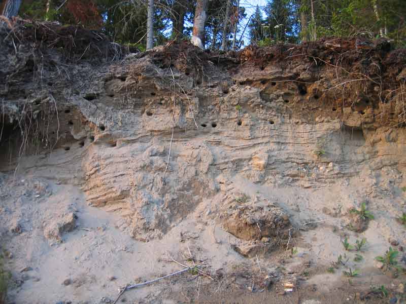 |
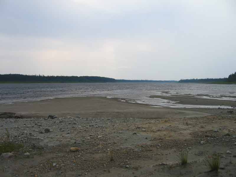 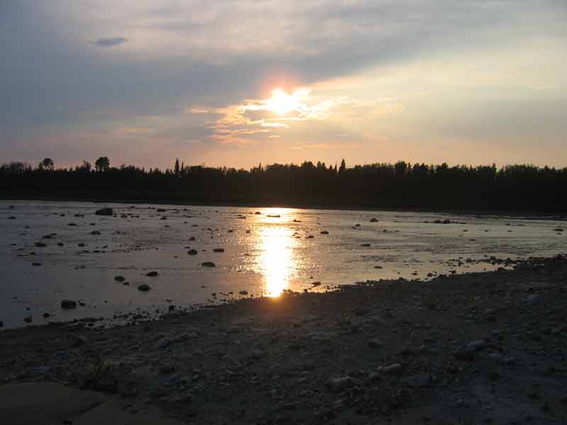 The winds took care of the mosquitoes, we had a great beach for swimming and the view was gorgeous. |
|
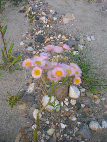 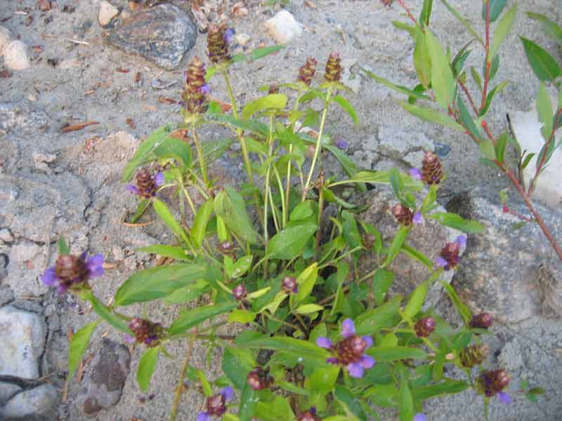 The flowers on the beach added to the beauty. |
|
|
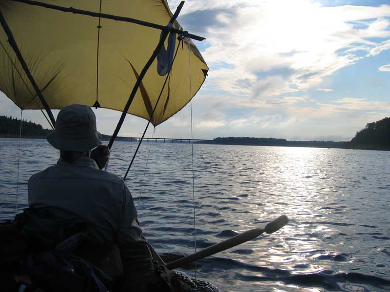
Tuesday, July 4 was decision day. The Moose river is notoriously shallow. Should we catch the train at Moose River Crossing or finish what we had started and continue on to Moosonee? Earlier in the trip we had appropriated a few poles from a beaver lodge and rigged a mast. Headwinds confronted us during much of the trip and we hadn't gotten in many minutes of sailing, but today the wind seemed to be encouraging us. |
|
 |
 |
|
We then began a process that was repeated every few minutes throughout the day; trying to determine where the main channels were. When we failed, which was often the case, we had to drag the canoe over gravel bars. We ate lunch on a gravel bar and discovered two Sand Hill Cranes who accepted our presence with just a few squawks. Head winds set in but we still managed to paddle about 56km before camping for the night. |
|
 We managed to reach a beautiful campsite on river-left, just above the confluence of the Kwetabohigan and Moose rivers, at abount km 21. |
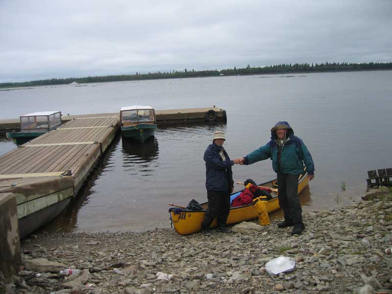 On Wednesday, July 5 we paddled against headwinds and an incoming tide. In less than three hours we reached the town's water-taxi dock and our little adventure was suddenly over. |
|
Counting our first and last day as half days, we had spent nine days on this fascinating journey. |
|
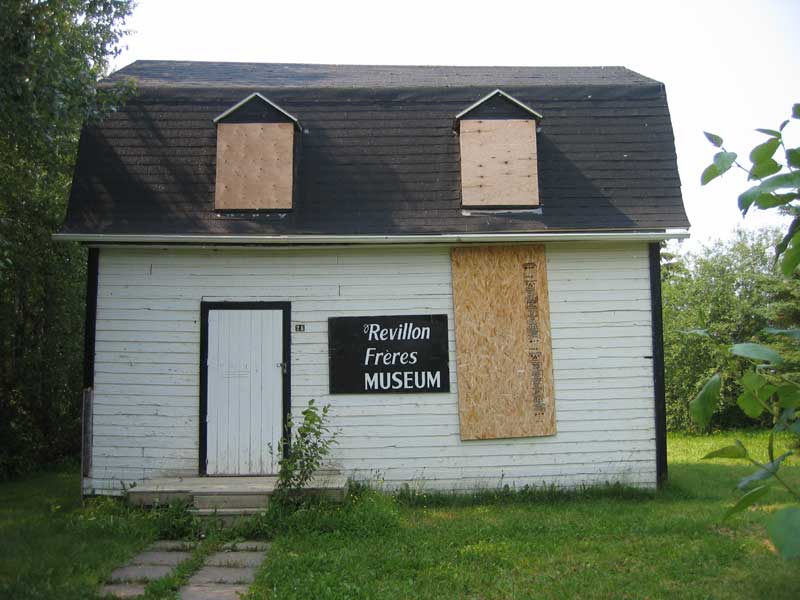 |
We spent a few days getting to know people in Moosonee and Moose Factory. George Elson (see our Hubbard expedition trip) lived in this house, which he aquired when Revillon Freres stopped trading furs here. When I was last here, eight years ago, the museum was an interesting tourist destination. Today it's closed due to lack of funds. |
| Finally we headed for the Ontario Northland's Little Bear train to Cochrane where our heavily-scratched canoe became the only passenger on the legendary canoe car. | 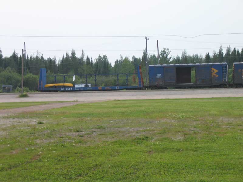 |